I was never very good at Geography. I could memorize state capitals and continents, but finding Michigan on a map? Not so much.
Clint and I are on a mission to teach our children useful things – not just twaddle to fill up their brains and their time. In spite of my lack in the subject, we agree that knowing where Michigan is is important. Here are some ways that we’re helping the kids to learn useful geography – and remember it.
We have used a couple of applications to help us with Geography over the years. Our old standby for recognizing the shape of a state, or certain details, is Stack the States – which we got on Amazon years ago. A new favorite that helps us discern the location of states is from a great website called Sheppard Software. If you’d like to try your hand, click here. (If it doesn’t work – because Adobe Flash is being phased out, let me know and I can try to help you get a flash player going on your device.)
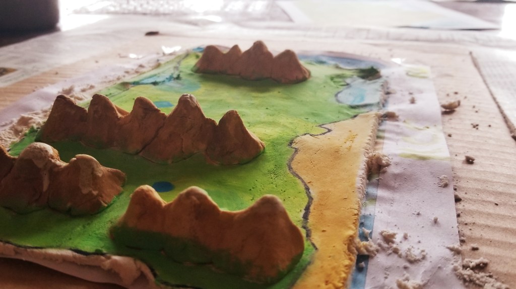
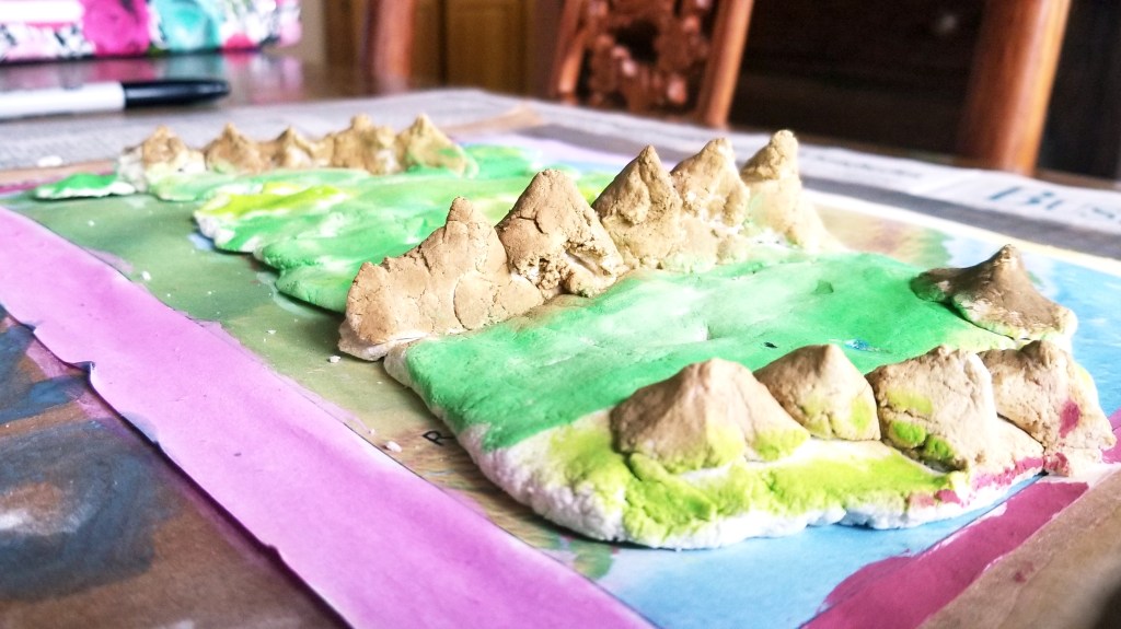
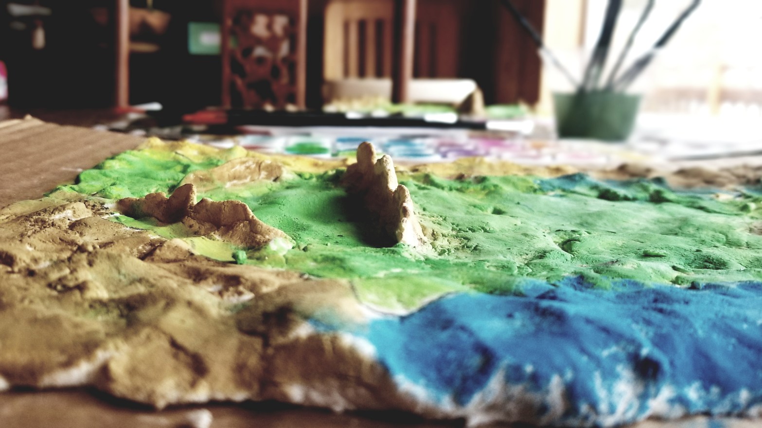
Our most recent endeavor, as we are currently studying the landscape of the United States, has been making salt dough maps. I told the kids they could form the country however they liked, but it needed to include the major mountain ranges for the U.S., as well as the border outlined and major rivers located. I haven’t really been into making messy school projects with the kids, so we’re all enjoying more hands on activities now that they are a bit older (and can clean up their own messes!) and I’m pretty sure the kids will remember where those major mountain ranges are for a while now. You can see for yourself how they turned out.